Some of the Services we offer
At Anderson & Associates, we try to cover every possible survey need there is. If you don’t see something listed below, please request a quote to see if we may be able to help.
Survey Services to fit almost any need
From residential to construction, we have the tools and the skills to help you with your surveying projects.
CIVIL SITE DESIGN
- UNDERGROUND UTILITY SERVICES
- ALCOHOL BEVERAGE LICENSE SURVEY
- Alcohol license application surveys. Distance measurement of nearest school, church, or alcohol treatment center.
- SPECIAL LAND USE PERMIT (REZONING)
- SITE PLAN SURVEY
- This survey details proposed improvements to your property, along with existing structures and features on your land, to help you obtain the proper permits. For commercial sites, this includes curb layout, edge of pavement, and building corners.
- WETLANDS
- AS-BUILT SURVEYS
- This survey verifies that your residential construction or improvements are in compliance with civil design plans and with local regulations, helping you obtain a Certificate of Occupancy.
- TOPOGRAPHIC, UTILITY, & TREE SURVEY
- This survey describes the topography of your land to identify possible building sites or to help you resolve drainage problems. For commercial sites, this benefits civil design by showing existing conditions. These surveys are used to design for reclamation plan and the location of lines underground servicing gas, water, storm, sewer, power, & telecommunications. They also give more specific detail about the trees on your property, their size, and their species.
CONSTRUCTION SURVEYING SERVICES
- CURB AND GUTTER LAYOUT
- SANITARY SEWER STRUCTURE LAYOUT
- STORM STRUCTURE LAYOUT
- BUILDING LAYOUT
- 3D MACHINE CONTROL
- COMMERCIAL WAREHOUSING
RESIDENTIAL SURVEYS
- BOUNDARY LINE SURVEY
- Our basic boundary survey easily meets Georgia minimum standard requirements and is the most common survey required by lenders and mortgage companies. This survey can also be used for selling property or while purchasing property.
- ELEVATION CERTIFICATE
- If your property sits on a flood plain, we measure the elevation to help determine how much flood insurance coverage you need. Needed for home closings and home refinancing.
- LOT CONSOLIDATION PLAT
- For combining two or more adjacent parcels of land into one larger parcel.
- MAJOR SUBDIVISION
- Includes subdivisions of existing parcels & residential subdivision of 50 or more lots.
- MARK PROPERTY CORNERS
- We physically identify and mark the corners of your property, as a less detailed alternative to a full property line staking.
- PROPERTY DIVISION
- A survey used to subdivide your existing parcel of land into two or more parcels.
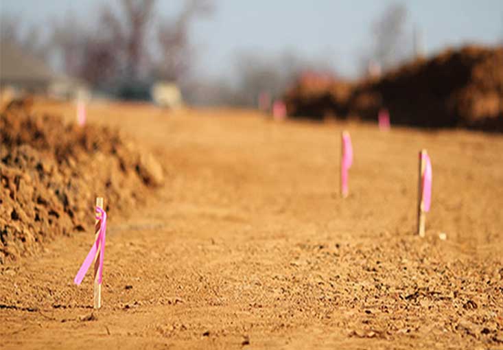
- PROPERTY LINE & SITE STAKING
- A survey that marks the boundaries of your property for verification of your legal property description, placement of improvements near the boundary, or to resolve property disputes with neighbors
UAV AERIAL MAPPING
- GIS MAPPING
- TOPOGRAPHIC SURVEY
- VOLUME CALCULATION FOR SURFACE MINING & AGGREGATE PROFESSIONALS
ALTA & NSPS LAND TITLE SURVEYS
- COMMERICAL LAND PURCHASES & ACQUISITION
- HIGH END VALUE RESIDENTIAL LAND DEVELOPMENT
